
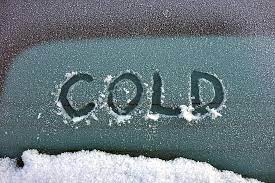
Another blast of Arctic air is expected to arrive in the Brown County area this coming Wednesday (Feb. 2) and it may bring some wintry precipitation with it.
As of this morning (Sat. 1/29), the forecast models show the first push of super cold air moving in late in the day Wednesday.
By Thursday morning temperatures are forecast to be in the upper teens. High temperatures on Thursday afternoon (Feb. 3) are forecast to stay in the 20’s with wind chills in the single digits and teens all day. The low Thursday night is forecast to drop to near 10 degrees. The high on Friday is forecast to remain below freezing.
The forecast models are at odds over whether any wintry precipitation will accompany the cold. The GFS model says yes as it paints icy weather over our area this coming Thursday (Feb. 3).
The Euro model was less excited about the chance for wintry mix. The precipitation details will be worked out in the next couple of days.
For now, just know that the coldest air of the winter thus far will hit Wednesday, February 2nd (we’ll just blame the groundhog) and could be followed by a second surge of cold temperatures next weekend for an extended period of bitterly cold weather. Watch for the KOXE video weather update early Monday morning on koxe.com.
(Randy Turner, KOXE Meteorologist)